Your Map Passed the River Check and Still Feels Fake
The river police are right about rivers — and that is only half the job. How to audit a fantasy map in the right order, with a five-column settlement audit that turns geography into political history.
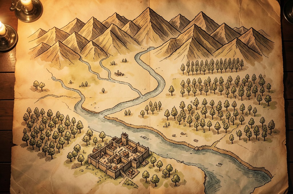
There is a particular kind of disappointment in finishing a map of your world, looking at it, and feeling that something is wrong without being able to say what. Josh Stolarz of Map Effects opens his tutorial on river mistakes with exactly that observation: "a map can be artistically beautiful and still feel subtly 'off.'" He is writing about rivers, and rivers are only half of it.
The river police are real, and they are not wrong
Share a map online for long enough, Stolarz warns, and "sooner or later you'll encounter a member of … the 'river police.' And one of the first things they'll point out is that rivers don't split!"
His list of river sins is short and physical:
- Rivers that split as they run downstream
- Rivers that run from one coastline to another
- Lakes with more than one outlet
- Rivers that flow uphill
The reasoning underlying all four is one sentence: "Rivers are shaped by elevation and gravity. They begin at high points such as mountains or hills and flow downhill until they eventually reach the sea." Tributaries merge as they descend; they rarely fork, and the famous exceptions are famous precisely because they are rare. Wyoming's Parting of the Waters — where one creek divides and sends water to two oceans — is a tourist attraction. The Casiquiare in Venezuela, which permanently links the Orinoco to the Rio Negro, is one of the strangest river features on Earth. Neither is a reason to draw a delta of forks across a continent.
The other half of the physics is the mountains. Wet air pushed up over a range cools and drops its water on the windward side, then warms again as it sinks down the far side, arriving dry — the rain shadow. The scale of it surprises people: on New Zealand's Southern Alps the western slopes take thousands of millimetres of rain a year while country barely fifty kilometres to the east stays under a few hundred. That is why an even ring of forest wrapped around a mountain range looks wrong to anyone who has driven across the Cascades.
Here is the part people skip: Stolarz does not treat any of this as law. "This isn't to say splitting rivers can never happen in fantasy worldbuilding. But unless you're doing it intentionally for a specific geographic or story reason, it's usually best to avoid." The rule exists so that breaking it costs something. A forked river in a world where an ancient engineering project split it is not an error; it is a plot.
The check that comes first
Audit it in one pass, because most of it is cheap:
- Trace each river from its source to the sea. Does it only ever gain tributaries?
- Does any river connect two coastlines? Split it into two rivers with a watershed between them.
- Does any lake drain in two directions? Pick one.
- Which way do the prevailing winds cross your ranges? Put the dry country on the far side.
- Do your treeline, farmland and desert follow from 4, or from where you wanted them?
Items 1 to 4 are an evening's work. Item 5 is not — redrawing biomes on a large map is a weekend, and it is the one people quietly skip. Do it anyway, in pencil, because you are about to find out what it was for.
And when the whole list is clean, your map will still feel fake — just fake in a way the river police cannot name.
The question that actually changes the story
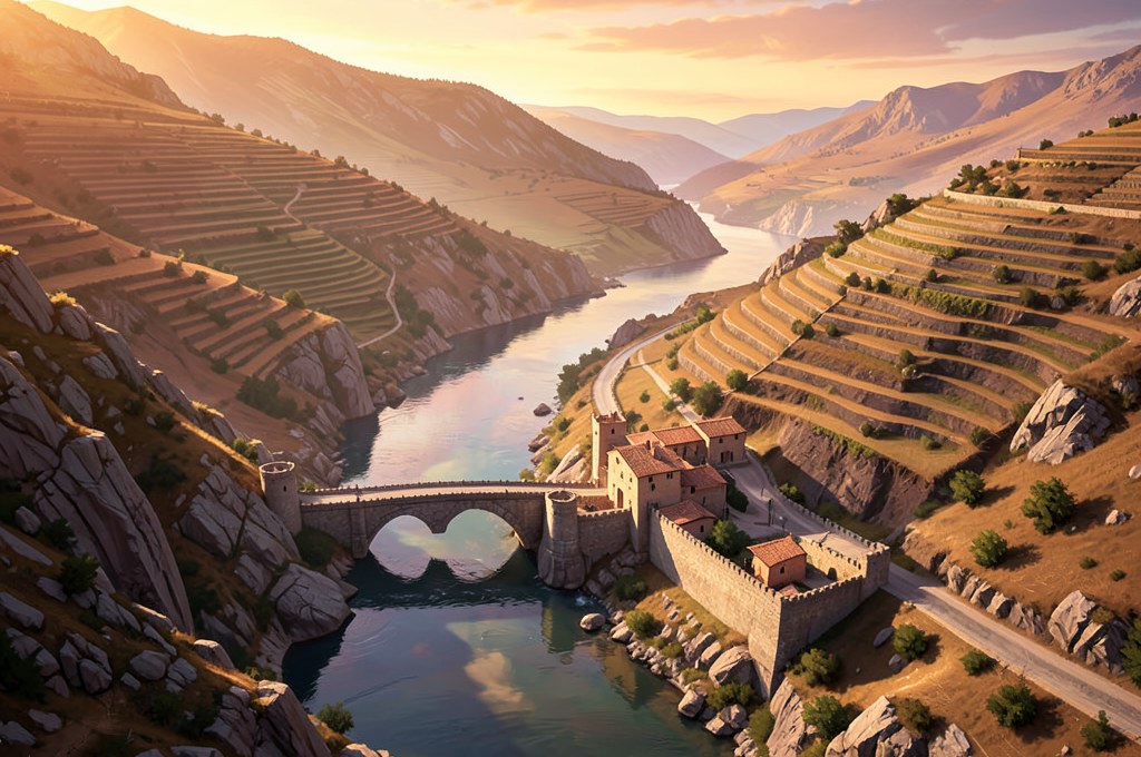
Writing about where to place settlements, SnowOwlGuy of Worldbuilding Workshop puts down the thing the river rules cannot give you: "Most settlements are founded to serve a function, or in response to something." The practical version is a question to ask of every dot you have drawn — "why was this village founded here, what does it produce and what is its purpose?"
Real cities answer it without being asked. Rome grew at the lowest practical crossing of the Tiber, where an island breaks the river. Constantinople sits on the strait that everything sailing between the Black Sea and the Mediterranean has to pass through. London grew at what was, for the Romans, the furthest downstream point where the Thames could be bridged. None of these are decorative positions. Each is a chokepoint somebody wanted to control, which is why each was fought over for centuries.
Now look at your own map. In my experience the failure is rarely that towns sit in impossible places — it is that they sit in arbitrary ones, spread at a comfortable visual spacing across the land like furniture. Nothing on the map explains why anyone walked there and stayed, which means nothing on the map explains why anyone would fight for it, tax it, abandon it, or come back.
That is why the ordering matters more than the rules. Rough the physics in pencil, work out why people are there, then let the answers finish the physics. A river that flows uphill is a mistake a stranger catches in five seconds. A kingdom of towns with no reason to exist is a mistake your reader will feel for three hundred pages without ever being able to report it.
Something to take away: the settlement audit
Take the largest six or eight places on your map — no more — and fill in one row each. Everything else can stay a dot for now.
| Place | Why founded here | What it eats | What it sells | Who could cut it off |
|---|---|---|---|---|
| Trouton | The last ford before the river widens | Grain from the floodplain | River tolls, salted fish | Anyone holding the upstream weir |
| Cairn Vad | Defensible crag above the pass | Terraced barley, goat herds | Iron, mercenaries | A winter long enough to close the pass |
| Eastgate | Grew against the wall of the old fort | Carted in from Trouton | Repairs, lodging, contraband | Trouton, on any week it chooses |
(The three names come from the ledger in an earlier piece on naming; if you keep both tables, a place's name and its reason for existing end up on the same page, which is where they belong.)
The first four columns are the ones most guides will tell you to fill. The fifth is the one I add, and it is the one that pays. "Who could cut it off" converts a static geography into a set of grudges: every settlement now has somebody it must stay friendly with, and somebody it quietly hates. That is not decoration — that is the first page of a political history, and it fell out of a table.
Two rules for filling it honestly:
- If two neighboring rows give the same answer under "what it sells," one of them is a suburb, not a city. Merge them, or give one a different trade and a reason it took that trade instead.
- If a row's "who could cut it off" is empty, the place is too safe to be interesting. Either it is the imperial capital, or you have not looked hard enough at where its food and money actually come from.
Fill six rows and you will notice something: the fifth column keeps naming the same two or three places. Those are your powers. You did not decide that — the geography did, and now your politics has a source outside your own preferences, which is exactly what stops invented history from reading like an author's mood.
What the rain shadow was really for
Now go back and finish the physics, because this is the only reason it mattered. The dry side of your range is the region that has to import grain, so it is the region that starves when the pass closes. Your ford is the place where a rival can strangle a city without a siege. A river that only merges downstream means the upstream neighbor always holds the knife.
The geography stops being scenery and becomes the reason people behave the way they do. That is the trick, and it is why the river check is worth passing: not because the river police are watching, but because a physically coherent map is the only kind that generates consequences you did not have to invent by hand.
Tonight, six rows
Open your map, pick your six largest places, and fill in only the fifth column — "who could cut it off." You will find at least one place you cannot answer for. That town is your next chapter.
In Worldseed you can keep these audits as elements of your world and talk them through with an AI that remembers the rest of your setting — so that when the ford town starts a war over tolls, the history behind it is already written down. Start with one place and the reason it exists.
For a focused follow-up, use the market card to test why one border crossing needs to exist.
Carry it into your world
Turn one idea from this article into a living part of your world
Name the world, choose a genre, and use AI to connect your first element to the rest of the setting.
This week's seed: “Magic works only when spoken aloud in front of a witness. Who becomes valuable in this world — and who is silenced?”
Free includes 20 AI messages per 24 hours. No card required.
Keep shaping the idea
Three guides connected by topic, craft, or worldbuilding method.
The Market That Tests Your Fantasy Map
A practical map exercise for giving a border market a reason to exist: what moves through it, when its road closes, who controls passage, and what a detour costs. Includes a blank market card.
Read guide →Three Stories Behind a Settlement Name
A practical worldbuilding exercise for giving one settlement three useful names: the terrain name, the ruler's official name, and the short name residents actually say. Includes a blank worksheet.
Read guide →A Faction That Outlives Its Founder
A practical worldbuilding exercise for making an organization continue after its founder is gone: define the work, shared resource, succession choice, and internal conflict. Includes a blank organization card.
Read guide →