Game of Thrones Political Geography — How Terrain Drives Story
An analysis of how Westeros's geography generates political structure and narrative conflict: the Wall, rivers as borders, castle cities, asymmetric climates, logistics of war, resource geography, buffer zones, and the costs of empire.
# Game of Thrones Political Geography — How Terrain Drives Story
The continent of Westeros, as George R.R. Martin designed it, is a masterpiece of fictional geographic planning. The struggle for power among the Seven Kingdoms is not simply a human drama — the shape of that struggle is *determined by the terrain itself*.
Terrain drives politics; politics drives story. Reading this chain clearly reveals why a worldbuilder who makes a map is doing something genuinely important.
The Wall Divides Politics
At Westeros's northernmost extreme stands the Wall — a massive ice barrier separating the Seven Kingdoms from "what lies beyond." This physical boundary generates political, cultural, and psychological division.
Consider the political meaning of a geographic division. Without the Wall, the northern border of the Seven Kingdoms would remain an open frontier, permanently exposed to the threat of foreign peoples. The kingdoms might prefer fragmentation to unification. With the Wall, the northern border splits into "protected North" and "unprotected Beyond," generating the Night's Watch — a unique political actor.
The problem of "defending the Wall" as a public good is the source of tension running through the entire narrative. Who bears the cost of maintaining it? Why has the royal authority stopped supporting the Night's Watch? A geographic piece of infrastructure is driving political dysfunction and narrative crisis.
Rivers Create Borders
The Trident and the Greenblood — Westeros's rivers function as national borders. Rivers are natural barriers and transportation routes simultaneously. Whoever controls a river controls trade; whether an army can cross one determines the difficulty of war.
"The other side of the river" and "this side" differ culturally as well. Regions long separated by a river develop different languages, customs, and understandings of who to trust. The Battle of the Trident became a historical turning point because the river — a geographic and political fulcrum — became the battlefield.
When designing a map in a fictional world, the flow of rivers naturally determines national borders and the distribution of power. Who holds the riverside cities? Who controls the bridges? These questions make the power map.
Aetheria's Canopy Islands are simultaneously divided and connected by sea — a geography that generates both political independence among the islands and mutual interdependence. A terrain that is "both barrier and passage" creates this paradox.
Fortress Cities and Natural Strongholds
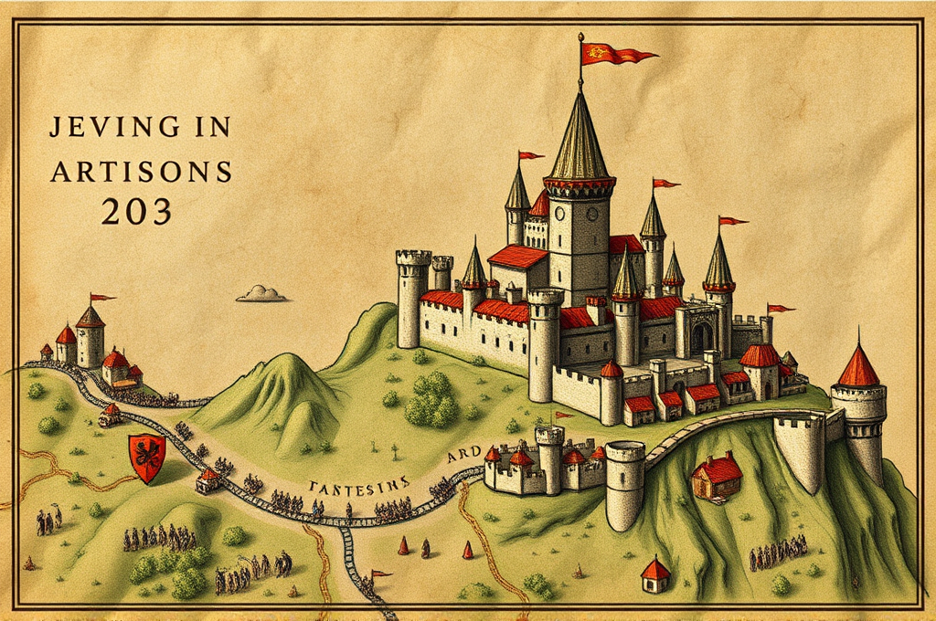
King's Landing is built on cliffs. Its geography, surrounded on three sides by river and bay, is defensively superior. Dragonstone is literally a fortress island in isolation. Natural defensive capability like this determines a location's political value.
The political contest of "who controls this place" is rooted in the geographic reason "why this place has value." Valuable places attract castles; castles attract towns; towns attract people; people generate politics. Tracing this chain backwards — terrain → economy → politics — provides a rational approach to positioning cities in fictional worlds.
Asymmetry of Climate
The most unusual climate element in Westeros is the unpredictability of its seasons. Summers can last for years; winters for decades. This climatic uncertainty affects everything — economics, culture, and politics alike.
"Winter is Coming" — the Stark family words — is not merely a saying. It is a survival strategy. Northern peoples, perpetually preparing for long winters, prioritize food storage, building insulation, and agricultural cycles above all. The prosperous southern regions have prepared only for short winters and are exposed and vulnerable when an unusually long winter arrives. Climate shapes culture; culture shapes political judgment.
Designing climate in a fictional world is not simply "setting the world's atmosphere." It is a foundational design decision that determines the agriculture, economy, values, and culture of everyone who lives there.
Terrain and Logistics: The Reality of War
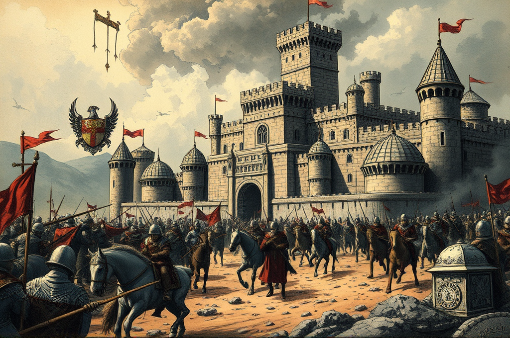
What fantasy war narratives often forget is logistics. Moving large armies requires food, water, and passable routes. One reason Westeros's battles feel realistic is that these logistical constraints are woven into the narrative.
Dragons revolutionize logistics for precisely this reason. Dragons transcend geographic constraints by flying, change the meaning of fortifications, and reduce the problem of food transport. The logic of power as defined by terrain — this logic gets rewritten by a technology (or creature) called a dragon.
This application extends directly to SF settings. The existence of teleportation technology, anti-gravity, or wormholes fundamentally rewrites the prior geopolitical logic. "How does new technology transform geopolitics?" is the core question of political design in SF worlds.
Why You Should Let Terrain Drive Story
What Martin achieved is a state in which terrain naturally provides both constraints and propulsion for story. "Why is this character here?" "Why does this war happen here?" "Why does this political tension never resolve?" — terrain, not just human desire, provides these answers.
The setting of the Root Land as an underground world in Aetheria also carries potential for designing a terrain-politics relationship. An enclosed underground space generates its own distinctive power structures, economics, and culture. How it connects to the surface world and where conflict emerges — this is a design where politics grows from geography.
Resource Geography: Why Certain Places Have Strategic Value
Looking at Westeros's political map, the most contested regions overlap with geographic and resource chokepoints.
The Lannister-Casterly Rock relationship is a classic example. House Lannister controls a gold-mine region — the material foundation of their economic power and political influence. "A Lannister always pays his debts" is also an expression of confidence in their capacity to pay in gold.
When creating a political map for a fictional world, if you can explain "why is the nation's capital here?" and "why is this a conflict zone?" through resources and terrain, political credibility increases. Capital location is usually explainable as the optimal solution among defensibility, transportation nodes, agricultural productivity, and harbor access.
In Aetheria's world, where the Root Land extends underground, subterranean resource distribution determines surface politics. Which regions have access to underground spaces determines the power map.
The Political Science of Buffer Zones
Small or weak nations caught between major powers often function as buffer zones. The politics of these buffer zones has its own dynamism.
Nations in buffer positions face a constant choice: align with one great power, or maintain equidistance from both. Which they choose oscillates with the relative strength of the major powers at any moment, the internal political factions, and the individual judgments of leaders. This oscillation is simultaneously the source of that nation's political instability and its diplomatic importance.
The Riverlands in Westeros, ruled by House Tully, is a buffer zone where multiple great houses' spheres of influence intersect. The result: the Riverlands is fated to become a battlefield in every major civil war. Geographic position determines the region's political fate.
The Maintenance Cost of Empire: The Geographic Limits of Expansion
Beyond a certain scale, an empire's governance costs begin to exceed the benefits it gains from governing. This "limit of imperial expansion" is itself defined by geography.
In a world where communication is slow (the speed of horses), the range of effective imperial control is constrained to distances reachable from the capital in a few weeks' ride. Beyond that, effective autonomy must be delegated. Stationing armies on the frontier shifts army loyalty from the capital to the local region — generating the historical pattern of frontier governor rebellions.
How developed communication technology is in your fictional world determines the maximum size of an empire it can support. Magical communications networks, telepathy, light-speed transmission — their presence or absence defines the scale of political units in the world.
Build a geopolitically designed fictional world with Worldseed →
See the techniques from this article in action in a real world.
Explore demo worlds →